

Multi-modal route planning
Plan trips across bus, subway, train, ferry, walking, cycling, scooters, ride share, and car share from a single search. The app is designed to show practical route options rather than only one suggested path.

Citymapper is a city transport app for planning trips by transit, walking, cycling, scooters and ride share, with live updates and turn-by-turn directions worldwide.
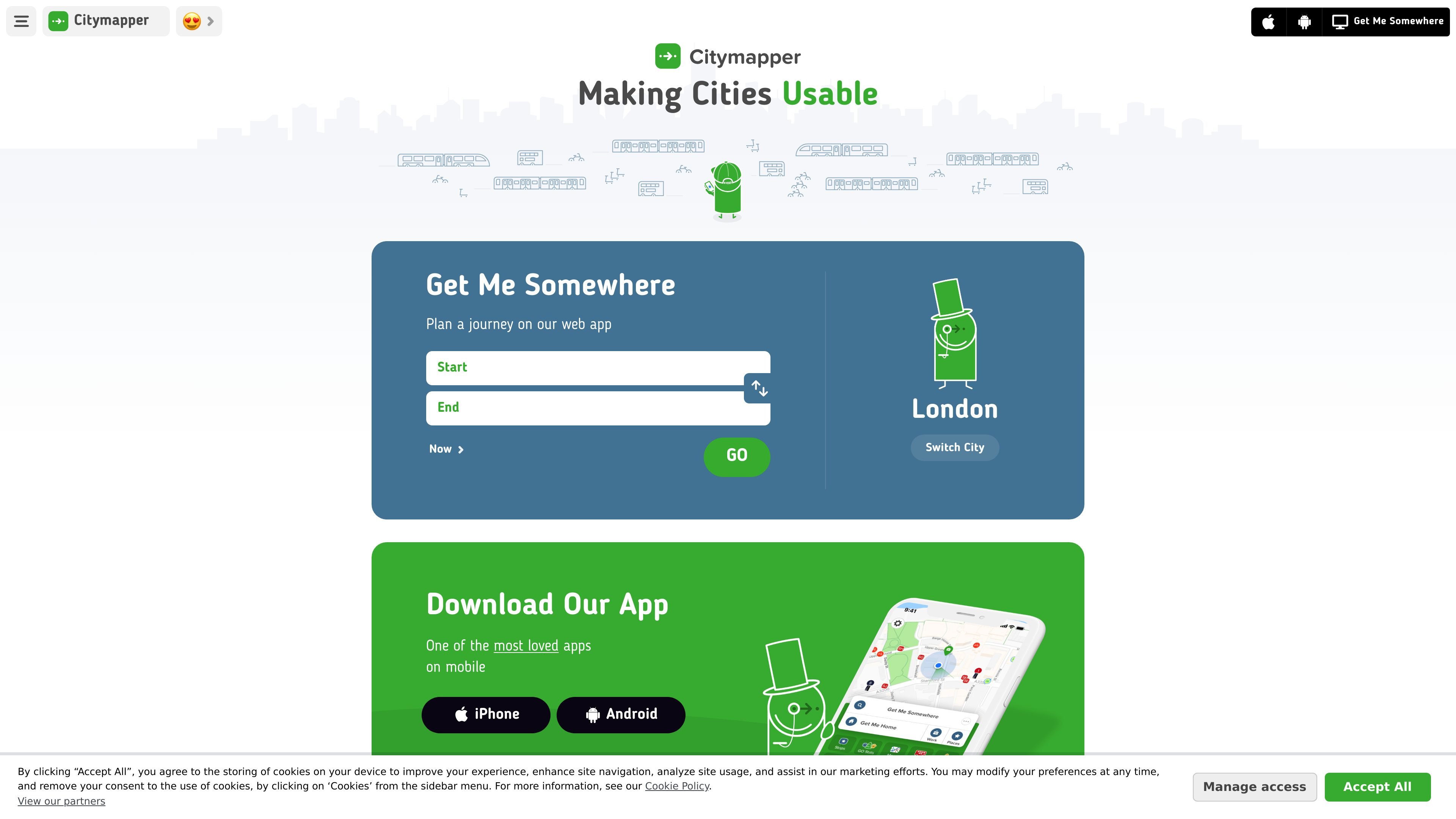
Citymapper is a transport app for planning and navigating city travel across web, iPhone, Android, and Apple Watch. Its core job is to compare multiple ways to make a trip and guide the user with live transit data, turn-by-turn directions, and city-specific route information.
The source describes coverage across many major cities worldwide, with particularly broad coverage in the US and Europe. It also highlights features for saving frequent places, receiving service alerts, viewing real-time vehicle progress, and using offline maps in selected cities.
Plan trips across bus, subway, train, ferry, walking, cycling, scooters, ride share, and car share from a single search. The app is designed to show practical route options rather than only one suggested path.
Use turn-by-turn navigation for transit, walking, cycling, bike share, and scooter trips. The App Store listing also mentions multiple map views and guidance such as where to board or exit.
See live wait times, ETAs, approaching vehicles, and disruption alerts where data is available. The app also lets you follow bus and train movements on a real-time map.
Save Home, Work, and favorite stops or stations for quicker trip planning. Users can also subscribe to specific lines for delay, disruption, and status alerts.
Access offline maps for selected cities, including several official subway and bus maps. This helps when connectivity is limited underground or in transit-heavy areas.
Share a live trip or a location with others so they can follow your arrival or get directions. This supports coordination for pickups and meetups.
Plan a daily commute with live ETAs, disruption alerts, and saved Home or Work locations so recurring trips are faster to enter.
Compare public transit with walking, cycling, scooters, ride share, or car share when choosing the quickest or most practical way across a city.
Navigate unfamiliar cities using turn-by-turn directions, best-platform guidance, and real-time transit updates during the trip.
Coordinate pickups or handoffs by sharing a live trip or sending a location link that others can open for directions.
Rely on offline maps and station maps when cellular coverage is limited, such as underground transit or dense urban areas.
Citymapper provides trip planning and navigation for public transport, walking, cycling, scooters, ride share, and other city travel modes. It also supports live transit information such as wait times, ETAs, alerts, and real-time vehicle tracking where data is available.
The source shows Citymapper as available on iPhone, Android, Apple Watch, iMessage, and the web. The app page also lists offline maps for selected cities and supported platform-specific features.
The app combines multiple transport modes in one route search, including bus, subway, train, ferry, cabs, ride share, car share, bike share, e-scooters, and walking. The App Store listing also mentions compare fares, hail a ride, and find nearby shared mobility options within the app.
The public site lists a pricing page, but it returned Not Found in the collected evidence. Based on the available source, the exact pricing model is not confirmed here.
Citymapper covers many cities worldwide. The site lists major metro areas across the US, Canada, Europe, and other regions, and invites users to see the full city list on its cities page.

TravelPal is an AI travel planning web app that creates personalized itineraries and organizes bookings, budget, and trip details in one place for solo or shared trips.

Tilly is an AI concierge for restaurants, experiences, and travel planning. Save places, get personalized recommendations, build itineraries, and handle bookings.

ClawApp is a MacOS desktop app for using OpenClaw bots with no setup or technical knowledge required. Explore natural-language workflows for email, notes, travel, code, and chat coordination.

Wanderlog is a travel planning app for building vacation and road trip itineraries on web and mobile, with maps, bookings, budgets, and shared trip details.

AiroMedical helps patients find treatment abroad with doctor review, hospital matching, and travel support, including visas, accommodation, transfers, and follow-up care.

Live the World is a travel planning platform for discovering destinations, reading editorial guides and using Atlas, an AI assistant, to build personalized trip plans.